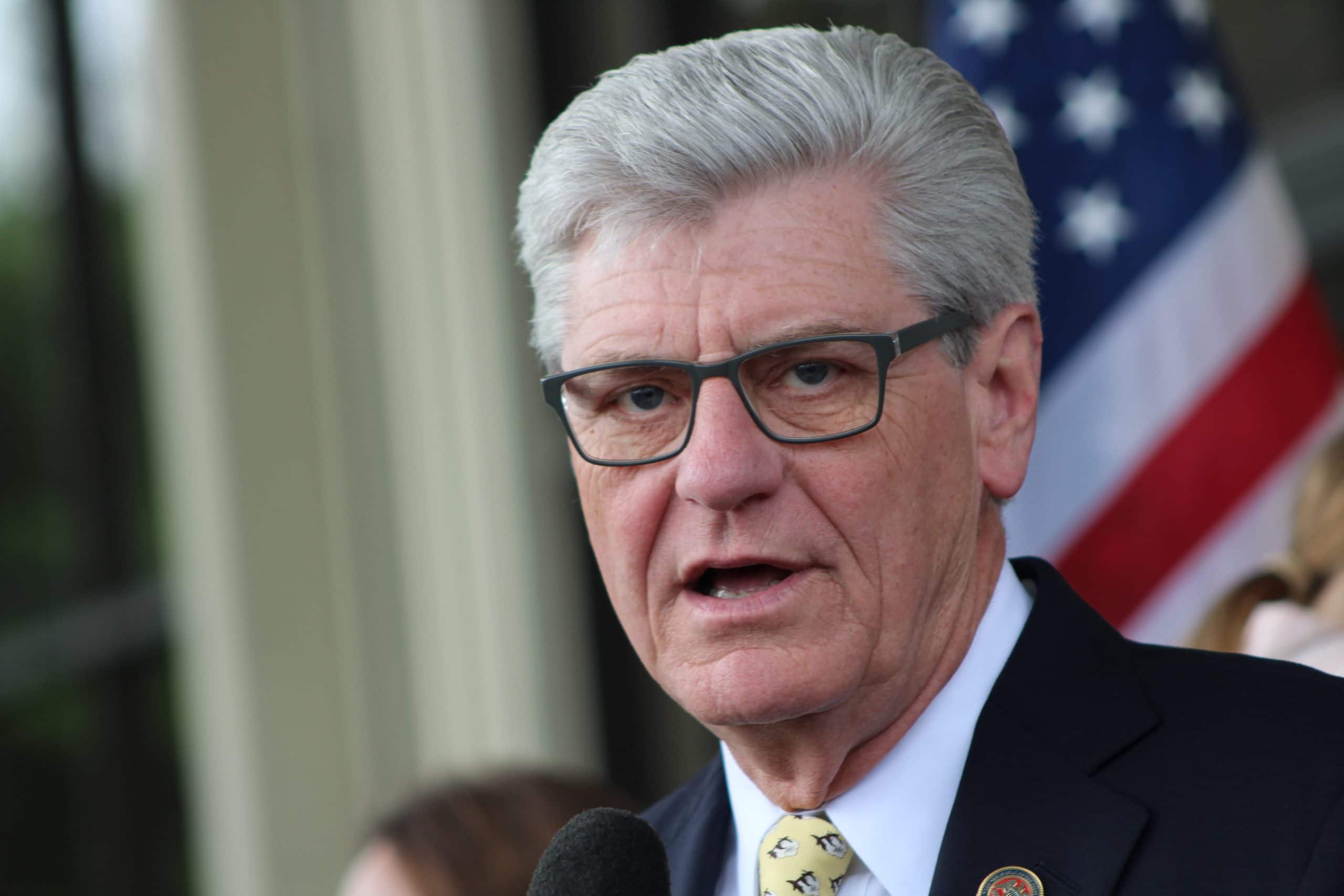
Governor Phil Bryant has issued a state of emergency for the Mississippi Gulf Coast.
So far, a Hurricane Warning has been issued for Hancock, Harrison, and Jackson counties. Tropical storm warnings have also been issued for Forrest, Lamar, Marion, George, Greene, Perry, Pike, Stone, Pearl River and Walthall Counties.
I have declared a state of emergency in advance of Tropical Storm #Gordon, making state resources and personnel available to affected areas. Please stay weather-aware and follow @MSEMA for real-time information. pic.twitter.com/4PQgRDGqUc
— Phil Bryant (@PhilBryantMS) September 4, 2018
Tropical Storm Gordon formed off the west coast of Florida on Monday morning. Gordon is expected to increase to a Category One hurricane by landfall late Tuesday night, potentially bringing 80 mph winds and more than five inches of rain to south Mississippi.
“MEMA has been monitoring the development of Tropical Storm Gordon very closely and will continue to do so through landfall which is currently forecasted for some time late Tuesday night,” said MEMA Executive Director Greg Michel. “We anticipate Gordon will produce widespread and heavy rainfall along the coastal counties. That rainfall combined with increased tidal surges are likely to result in localized flooding in the affected areas. Residents in those affected counties should also be prepared for tropical storm force winds and conditions that will favor isolated tornado threats not only along coastal counties but for South Mississippi in general. Stay tuned to your local weather and monitor all guidance from your local Emergency Management Agencies. Be prepared by staying informed.”
A release from MEMA says the greatest threat is heavy rainfall and flooding, along with hurricane-force winds which are expected to impact much of South Mississippi, and 3 to 5 feet of storm surge. People living in low lying areas should have an evacuation plan in place in the event that waters should begin to arise.
All vessels in Biloxi’s four harbors and marinas, about 300 craft in all, have been ordered to evacuate the harbor by 2 p.m. Tuesday.
Biloxi Port Division Manager Larry Sablich said that nearly two-thirds of the vessels at the Biloxi Small Craft Harbor had already heeded the notice, and others were moving from the adjoining commercial harbor, Point Cadet Marina, and the Sherman L. Canaan Back Bay Fishing Docks.
“Our Emergency Managers are being told to expect tides 2 to 3 feet above normal and a 6-foot storm surge,” Sablich said. “Ordering an evacuation was the prudent thing to do. We need to make sure boat owners know the potential for damage, and at the same time, we’re protecting the public harbors and marinas from damage. We’re seeing good cooperation.”
Other suggestions include storing lawn furniture, trash cans and other objects that can become projectiles. Continue to monitor weather reports and follow the advice of authorities. Review your storm plan.
“We’re asking people to do the same things that we’re doing: prepare,” said Biloxi Mayor Andrew “FoFo” Gilich. “There’s no reason to be alarmed. We’re being told to expect rain and wind, and we’re preparing accordingly. We expect our citizens to be doing the same.”
The city is also expected to see road closures, primarily in low-lying areas such as near the Cedar Lake Bridge, as tides began to rise.
Bridge tenders at the Popp’s Ferry bridge, meanwhile, planned to open the bridge as needed to allow groups of vessels to pass. Parks & Recreation workers will be picking up trash cans from parks throughout the city Tuesday morning, and Public Works laborers were expected to be clearing storm drains and catch basins and helping prepare city facilities.


