


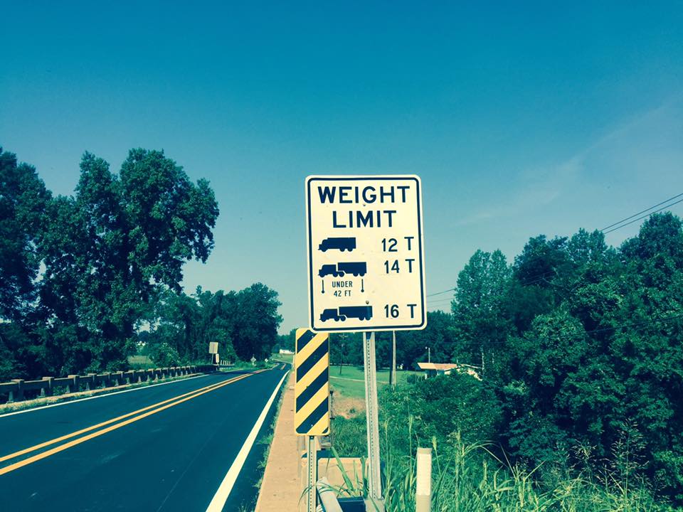
During the past legislative session, lawmakers failed to pass legislation dealing with the state’s failing infrastructure and with Governor Bryant declaring a state of emergency that immediately closes 106 bridges in the state, many are seeking answers.
“In an emergency meeting this morning, the Jones County Board of Supervisors unanimously voted to write a letter urging Governor Bryant to immediately call a special session to encourage legislators to fund local bridge replacement,” said a statement from the Jones County Board of Supervisors. “The Board also requested that the Mississippi Association of Supervisors contact all other Mississippi counties to do the same.”
According to MDOT, beginning at 6am Monday morning on April 16th 2018, they will begin working to close the bridges listed below using dirt and or concrete barricades.
Please review the information and plan accordingly.— Jones County EOC (@JonesCountyEOC) April 12, 2018
| #s | Road Name | Crossing | Lattitude | Longitude |
CLICK LINK FOR MAP |
Notes |
|
1 |
Bush Dairy Rd | RELIEF FOR TALLAHOMA CK | 31.74143611 | -89.17813056 | ||
|
2 |
Bush Dairy Rd | TALLAHOMA CREEK | 31.74070556 | -89.18151111 | ||
|
3 |
Courtney Creek Rd | COURTNEY CREEK |
31.44994444 |
-89.20425 | ||
|
4 |
Dallas Brownlee Rd | PINEY CREEK | 31.77111111 | -88.94375 | ||
|
5 |
Sandersville Pleasant Grove rd | RELIEF FOR DRY CREEK | 31.76756944 | -89.01634167 | ||
|
6 |
Ellisville Tuckers Crossing Rd | Flat Branch |
31.62531389 |
-89.09883056 |
||
|
7 |
Freedom Rd | LITTLE MILL CREEK | 31.64938889 | -88.99238889 | ||
|
8 |
Harlon Matthews Rd | Brushy Branch |
31.77753056 |
-89.21986389 |
||
|
9 |
Hines Rd | HORSE CREEK | 31.71169444 | -89.20175 | ||
|
10 |
Lyon Ranch Rd | Dry Creek | 31.54977778 | -89.10027778 | ||
|
11 |
Masonite Lake Rd. | MILL CREEK | 31.66686111 | -88.99922222 | ||
|
12 |
Monroe Rd | LOWERY CREEK | 31.60102222 | -89.37775556 | ||
|
13 |
Monroe Rd | OAKEY WOODS CREEK | 31.63057222 | -89.38723889 | ||
|
14 |
New Zion Rd | Providence Creek | 31.45504167 | -89.3582 | ||
|
15 |
Old US HWY 84 East | BOGUEHOMA CREEK | 31.70147222 | -89.02677778 | ||
|
16 |
Sandhill Church Rd | Dry Branch |
31.65611111 |
-89.33997222 |
||
|
17 |
Sellers Rd | Thomas Creek | 31.49380556 | -89.27775 | ||
|
18 |
Sellers Rd ( not Chester Mosley) | Falls Branch |
31.46153611 |
-89.27783889 |
||
|
19 |
Sharon Moss Rd | WEST REEDY CREEK | 31.79929444 | -89.12825 | ||
|
20 |
Shorty Ekes Rd | LONG BRANCH | 31.64995833 | -89.08401389 | no outlet | |
|
21 |
Stewart Dr. | Burr Creek | 31.51641667 | -89.29847222 | no outlet , gas pipeline | |
|
22 |
Three Mile Stretch | Tallahala Creek |
31.56 |
-89.18508333 | ||
|
23 |
W Main St. Sandersville | MAYHAW BRANCH | 31.78808333 | -89.04675278 |
With 23 of the 106 bridges located in Jones County, Rodney Parker who serves as the Deputy Director for the Jones County Emergency Operations Center said that MDOT will begin working to close the bridges using dirt and/or concrete barricades beginning at 6 a.m. on April 16th.
Representative Mark Baker said that to deal with the infrastructure issue, the legislature has to first determine where the needs are before they can move forward with a joint plan between the House and the Senate.
“When you talk to a lot of people about road and bridge issues, they are not talking about highways or interstates, they are talking about their local roads and their cities in their counties,” Baker said. “That’s where we in the House have gone out and said, you know what, people are not complaining about the condition of highway 80, they are complaining about the condition of First Street.”
Baker added that he believes the Governor will only call a special session to discuss infrastructure legislation if the House and the Senate can come to an agreement.
“We need to do a better job of explaining that we need to replenish these cities for lost revenue so that they can, in turn, use that money more efficiently to provide for those infrastructure needs in their towns,” Baker said.