


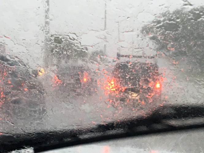
Severe weather is expected Thursday. Heavy rainfall will develop across the region with a strong cold front moving in tomorrow and due to those widespread thunderstorms flash flooding is likely in some areas especially in the Pine Belt area.
Highs winds and tornadoes are possible and Greg Flynn with Mississippi Emergency Management Agency (MEMA) said the bad weather won’t be going away overnight.
Severe Weather Alert for Thursday: High winds and heavy rainfall expected statewide. Tornadoes possible. Stay alert and have a plan. #mswx pic.twitter.com/mZBxPF21GL
— MSEMA (@MSEMA) December 26, 2018
“This rain is not going to go away because the cold front is going to stall over south Mississippi which is going to lead to rain through the weekend anywhere from 2-6 inches over that extended period of time,” said Flynn.
While the severe weather will be bringing cooler temperatures, they are not expected to drop below freezing. Flynn added that the winds could range anywhere from 25 to 60 or even 70 MPH. MEMA is encouraging everyone traveling Mississippi’s roads to stay weather aware during this holiday.
“It’s one of those weird travel times that give us concern because a lot of people are either traveling back to Mississippi, or they are traveling away from Mississippi, headed back home,” Flynn said. “People just really need to know what the conditions are in their area and of course never drive across a flooded road because you never know whether there is even a road underneath there.”
Quick tips for Thursday severe weather threat:
1. Bring in outdoor holiday decorations.
2. If your trash-pick up is Friday and it’s already at the curb, consider bringing it back in.
3. Clear drainage areas of leaves and other debris.— MSEMA (@MSEMA) December 26, 2018