


North Mississippi seeing more oppressive heat today: highs tipping into the mid 90s in some areas with some heavy humidity adding to heat indices that will roll into the triple digits. Some afternoon thundershowers will move into the area today, but don’t expect much coverage.
Across the central region of the state, look for highs in the lower 90s with a better chance for some scattered rain this afternoon. A cold front sweeping into the state this week will help tamp down the heat, but you can expect more rain and thunder to mark its arrival.
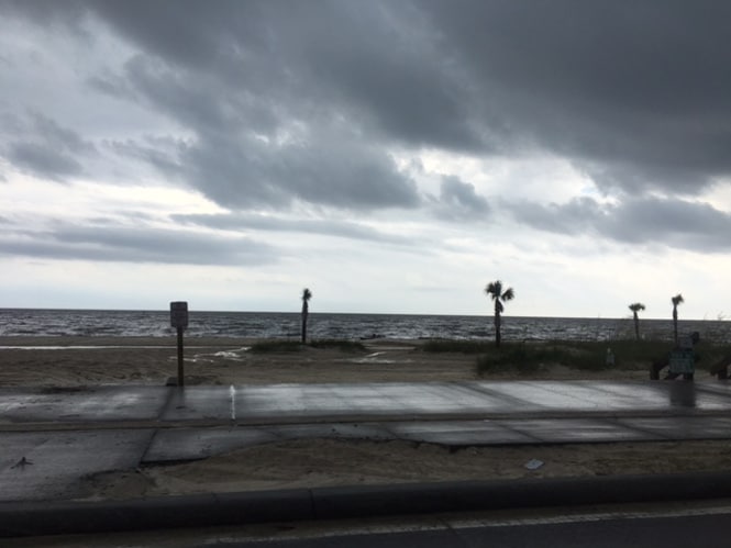
South Mississippi seeing the best chances for rain today. The Pine Belt looking at about a 40% coverage and highs in the lower 90s, while nearer to the Coast can expect a 60% coverage and highs in the upper 80s.