


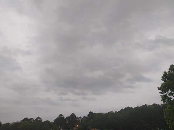
If you were excited about the brief sunshine, be ready to get the umbrella back out for the week.
In North Mississippi, highs in the upper 80’s, hitting 90 in some spots with a chance of rain and storms through the day. Tonight partly cloudy in the 70s.
Thunderstorms are even more likely across Central Mississippi with highs in the mid 80s, very humid, with the storm chance tapering off tonight, lows in the 70’s.
Across South Mississippi, highs in the low to mid 80s, thunderstorms, lows in the 70s with rain overnight as well.
Throughout the midweek, much of the same song and dance, with North Mississippi seeing highs in the upper 80s with showers and storms and lows dipping into the 70s.
For Central Mississippi, the threat of storms will continue Wednesday with highs in the mid 80s, high humidity, and the chances of storms lingering through the evening as temps drop to the 70s.
Thunderstorms and showers, particularly in the afternoon, won’t skip the southern region of the state throughout the week. Highs will peak in the upper 80s, with lows dipping into the low 70s.