


North Mississippi looking at early thundershowers scattered across the area this morning: you’re in for about a 40 percent coverage so keep the umbrella handy. You’re also looking at relatively cooler temperatures: a high only reaching the upper 80s, lower 90s tho your humidity will keep things sticky and sweaty. Tonight’s low falling to the mid 70s as rain begins to move out. Tomorrow, highs returning to the lower 90s and things will only be getting hotter the rest of this week.
Across the central part of the state you’re looking at a muggy, rainy, breezy day: your high in the upper 80s as thunderstorms break over the area. You’ve got a 60 percent chance of catching one of those storms today. In fact, you’re looking at rain and thunder for the next several days and nights. Tomorrow’s high returning to the upper 80s, but look for warmer temperatures near the weekend.
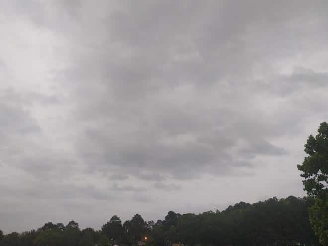
South Mississippi riding out overnight rain and storms with more expected today: your high in the mid and upper 80s.