


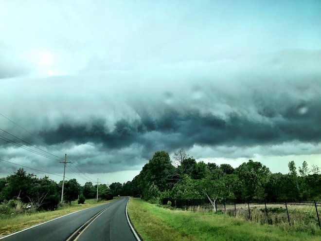
A pair of massive systems is threatening widespread thunderstorms and flooding across the state this weekend.
First, a cold front impacting with the Delta will mix with heavy moisture in the air that will send ripples of thunder throughout north and central Mississippi. Some good news: highs in north Mississippi will only be in the mid 80s for the next several days. Later this week, however, that stalled front will greet a huge airmass leftover from a tropical system in the Gulf of Mexico.
The Gulf is currently harboring the “ghost” of tropical storm Harvey: heavy and wet air that’s been churning for a week, but is still very potent. As that system moves northward to meet the cold front sweeping in from the west, large amounts of rainfall are expected across the state. South Mississippi and the Pine Belt can look for the heaviest impact.