



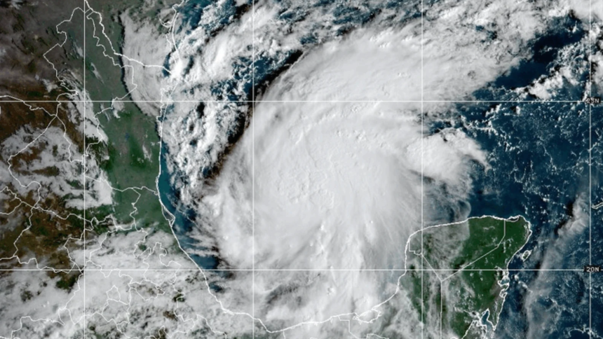
The tropical disturbance in the southwestern Gulf has skipped the tropical depression stage and has been upgraded to a tropical storm.
Less than a day after the National Hurricane Center (NHC) forecasters gave the storm a 90% chance of strengthening into a tropical depression, Tropical Storm Isaias has formed near the western coast of the Yucatan Peninsula of Mexico. As of Wednesday at 4 a.m., the NHC is projecting winds to begin affecting Mississippi starting at 8 a.m. on Friday.

According to forecasters’ projections, Isaias is heading toward the Mississippi-Alabama border on a diagonal line, with the bulk of the storm directed at Alabama. Landfall is expected to hit the states’ border sometime around 1 a.m. on Saturday. While no warnings have officially been issued yet, Mississippi should still expect and prepare for heavy rainfall and flood potential.
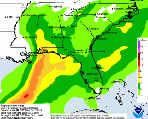
“From Friday through the weekend, [Tropical Storm Isaias] is expected to produce rainfall amounts of 3 to 6 inches, with localized totals up to 10 inches, across the central U.S. Gulf Coast extending from far southeastern Louisiana to the Florida Panhandle,” the NHC wrote in an update. “Flash and urban flooding, along with isolated river flooding, will be possible.”
Isaias is expected to strengthen over the next day or two into a Category 2 hurricane, according to the NHC. They also added that hurricane and storm surge watches will likely be issued later Wednesday for coastal residents.
The Mississippi Emergency Management Agency is urging residents to monitor the weather as Isaias likely strengthens into a hurricane. Additionally, MEMA added that Gulf Coast residents should know and review evacuation zones and routes in case of an emergency.
SuperTalk Mississippi News will provide updates as additional information becomes available.