The National Weather Service is warning of “a string of oppressively hot days” ahead as above-normal temperatures continue to define July.
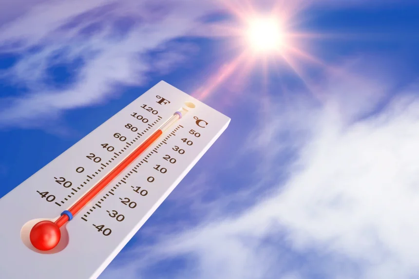
A bulk of Mississippi has been placed under a significant or elevated heat stress due to a combination of high temperatures and high humidity. Heat index readings Monday through Wednesday will range between 110 and 120 degrees.

The good news, according to the NWS offices in the region, is that relief from the heat should come later in the week. Thursday’s highs are forecast to drop into the low 90s before weekend weather on Saturday and Sunday could land between 73 and 89 degrees.
“We have a string of oppressively hot days ahead of us,” NWS Jackson officials wrote on social media Monday morning. “But also, some (temporary, at least) light at the end of the tunnel later this week.”
We have a string of oppressively hot days ahead of us. But also, some (temporary, at least) light at the end of the tunnel later this week.
Take extra breaks from the outdoors and stay hydrated over the next few days. Heat index readings could reach 110F – 120F across our area. pic.twitter.com/a8dqLSXQOa
— NWS Jackson MS (@NWSJacksonMS) July 28, 2025
An Extreme Heat Watch remains in effect for Tuesday and Wednesday. The beginning of this week will feature oppressive heat as heat indices soar above 110 degrees. We urge everyone to limit outdoor activity and have a plan to stay hydrated and cool. pic.twitter.com/ZRMKrjkEyA
— NWS Memphis (@NWSMemphis) July 28, 2025
**UPDATE. The Heat Advisory for today around the Lakes and along the MS Gulf Coast has been upgraded to an Extreme Heat Warning with heat index values up to 114°F+ possible. Remember those heat safety rules! #lawx #mswx pic.twitter.com/kqlINHZHZY
— NWS New Orleans (@NWSNewOrleans) July 28, 2025
Residents are encouraged to be proactive when trying to beat the heat. This includes staying hydrating, avoiding the outdoors for extended periods of time, not leaving children or pets in vehicles, and knowing how to recognize heat illness.
Keep up with the latest forecast in your area of the state by clicking here.