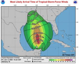
The National Hurricane Center says storm surge and tropical storm watches have been issued for portions of the northern Gulf of Mexico coast.
The tropical storm watch has been issued from Intracoastal City Louisiana to the Alabama/Florida state line, including Lake Pontchartrain and Lake Maurepas. Tropical storm conditions are possible today within the tropical storm watch area of the Yucatan Peninsula. Tropical storm conditions are possible within the Tropical Storm Watch area of the northern Gulf coast beginning early Sunday.
A storm surge watch has been issued for the northern Gulf of Mexico coast from Indian Pass to Arepika, Florida, and from Grand Isle, Louisiana, to Ocean Springs, Mississippi, including Lake Borgne.
The water could reach the following heights above ground somewhere in the indicated areas if the peak surge occurs at the time of high tide:
Aripeka to Marco Island including Tampa Bay: 1-3 ft
Grand Isle to Ocean Springs including Lake Borgne: 2-4 ft
Indian Pass to Aripeka: 2-4 ft
Ocean Springs to Indian Pass including Mobile Bay and Pensacola Bay: 1-3 ft

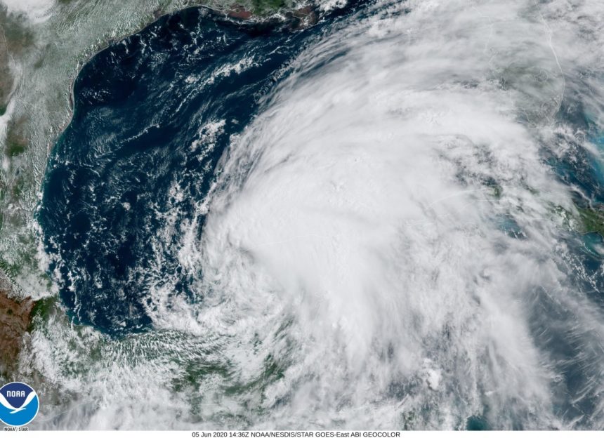
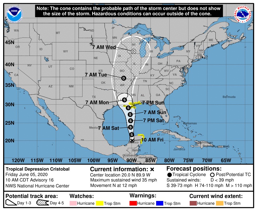
At 10 a.m. CDT, the center of Tropical Depression Cristobal is located about 40 miles (65 km) east of Campeche, Mexico. It’s moving toward the north near 12 mph (19 km/h). On the forecast track, the center will move back over the southern Gulf of Mexico this evening, over the central Gulf of Mexico on Saturday, and be near the northern Gulf of Mexico coast Sunday evening.
Maximum sustained winds are near 35 mph (55 km/h) with higher gusts. Some strengthening is forecast to occur during the next 48 hours, and Cristobal is expected to regain tropical storm strength later today. Some additional strengthening is forecast thereafter.
Cristobal is expected to produce the following rain accumulations through Wednesday morning:
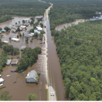
For portions of the eastern and central Gulf Coast and the Lower Mississippi Valley, rainfall accumulations of 4 to 8 inches, with local amounts to 12 inches, are forecast. Isolated significant river flooding is possible along the central Gulf Coast. Farther north across the Mid-Mississippi Valley, rainfall totals of 2 to 4 inches, with local amounts to 6 inches, are expected. Rises along smaller-order streams are possible across the Mid-Mississippi Valley. This degree of rainfall is expected to lead to flash flooding.