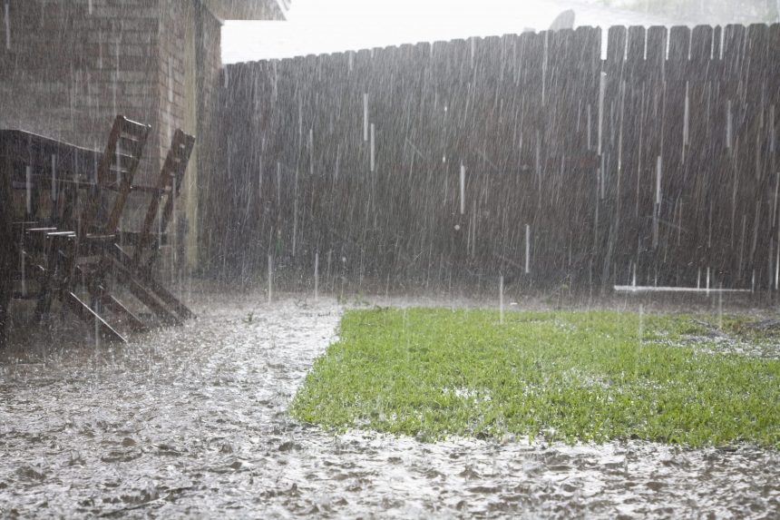
A high chance of rain with heavy cloud coverage is expected across the majority of Mississippi today along with a drop in temperature in most portions of the state.
Northern Mississippi:
Warmer weather accompanied by showers and thunderstorms will be seen across most of the northern portions of Mississippi today. Temperatures are expected to sit in the mid-80s with rainfall continuing from the morning into the afternoon. As night falls, rainfall is expected to continue through midnight with a slight chance of showers as temperatures drop down to the lower-70s.

Central Mississippi:
Weather in central Mississippi is expected to be rainy with a slight chance of thunderstorms throughout the day. Due to the showers and cloud cover, temperatures will be in the lower to mid-80s across most of the area. When the sun sets, the temperatures will drop to the lower-70s with a slight chance of thunderstorms and showers expected throughout the night and into the next morning.
Southern Mississippi:
Ongoing showers and thunderstorms will be seen in the southern parts of Mississippi today along with temperatures in the mid-80s. Heavy cloud coverage will be present throughout the day and into the evening. Rainfall will be seen in the morning and the afternoon and is expected to continue after midnight as temperatures drop back down to the lower 70s.