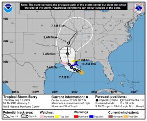
Here is the latest forecast track from the National Hurricane Center, for what is now Tropical Storm Barry.
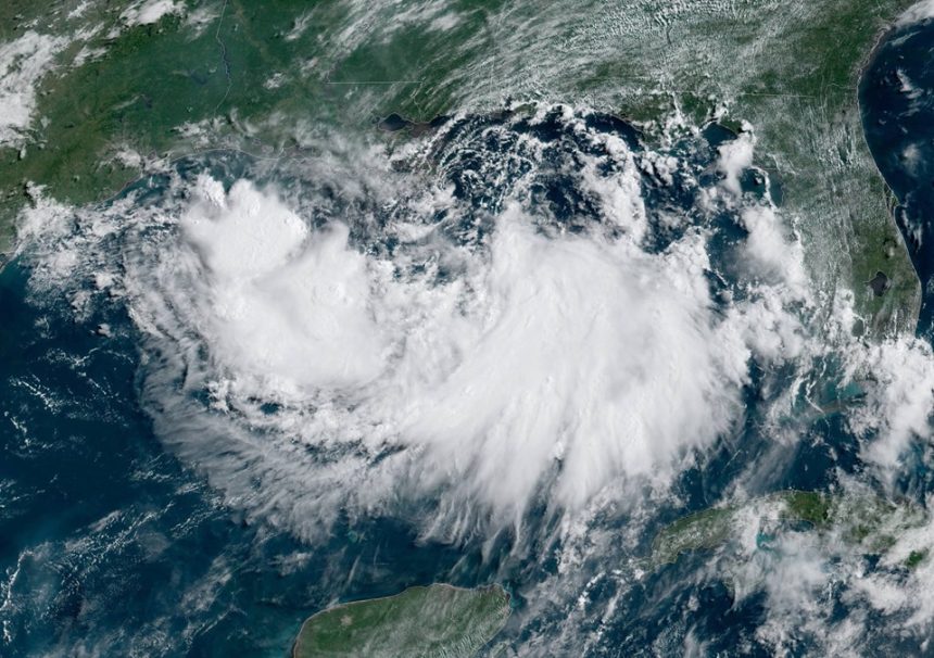
As of 10 a.m., the system was 95 miles southeast of the mouth of the Mississippi River and 200 miles southeast of Morgan City. It is moving west at 7 mph. It has maximum sustained winds of 40 mph.

Tropical Storm Barry has the potential to strengthen to Category 1 Hurricane status before it makes landfall along the Louisiana coast early Saturday morning.
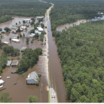
The Mississippi Emergency Management Agency says the system is expected to bring heavy rain, flash flooding, storm surge, and damaging wind hazards to the Gulf Coast with a few tornadoes also possible. In addition, conditions still appear favorable for this system to strengthen into a hurricane. Please take time and review your preparedness plan and stay weather aware as this system develops.
…
View the graphics for current expected timing and cone as well as severe weather threat area for Mississippi.
…
Find helpful preparedness info here: http://www.msema.org/preparedness/hurricanes